How to Find Water and Water Table Depth Underground
Seismic technology helps improve accuracy in locating groundwater sources.
Practical Guide to Find Water and Water Table Depth
Finding underground water before drilling helps reduce costs and improve drilling success. To find water effectively, you should first understand local groundwater conditions, water table depth, and nearby well records. Proper planning helps property owners, farmers, and drilling contractors avoid expensive dry wells and improve groundwater detection accuracy.
Understanding Groundwater and Aquifers
Groundwater is water stored beneath the earth’s surface within cracks, soil, sand, gravel, and rock formations. It slowly moves underground and collects inside aquifers. Aquifers are natural underground formations that store and transmit water to wells, springs, and irrigation systems.
The ability to find water depends heavily on local geology. Some locations contain shallow groundwater within loose soil layers, while others require drilling deep into fractured bedrock formations. Soil composition, rock structure, elevation, and rainfall all influence groundwater movement and water availability underground.
Water Table Depth and Groundwater Yield
The water table is the upper level where soil and rock become fully saturated with groundwater. Water table depth varies from one location to another depending on climate, terrain, and geological conditions.
When drilling reaches an aquifer, water yield depends on aquifer thickness and hydraulic conductivity. Thin aquifers with clay or solid granite may produce little water. In contrast, clean gravel and fractured basalt formations usually provide higher groundwater flow and better well production.
To successfully find water, drilling should target thick and permeable aquifers with strong groundwater storage capacity.
Advanced Technology to Find Water
WaterFind Technology uses advanced seismic imaging methods similar to oil exploration techniques. These methods help locate underground water-bearing zones before drilling begins. Seismic groundwater detection improves drilling precision, reduces risks, and increases the chances of locating productive water wells.
After field analysis, detailed reports estimate aquifer depth, groundwater thickness, and projected yield in gallons per minute (GPM). This information helps property owners make informed drilling decisions while reducing the risk of dry wells.
Water well development is also a determining factor for final water well yield. Please click on the links below to learn more.
http://www.lifewater.ca/drill_manual/Section_10.htm
http://welldrillingschool.com/courses/pdf/WellDevelopment.pdf
https://www.bcgwa.org/images/Well%20Development.ppt
If you are looking to use google earth to find underground water maps, write down the latitude and longitude for the location your are trying to find information for. Then proceed to our water well records page to find specific information for the area. This will not give you the best location to drill but may help you determine where the water table may be in your area, the average yield and depth, and assist.
CONTACT US NOW!
+1 780 876 6676
3811-53 Ave Rocky Mountain House, Alberta T4T 1V4 Canada
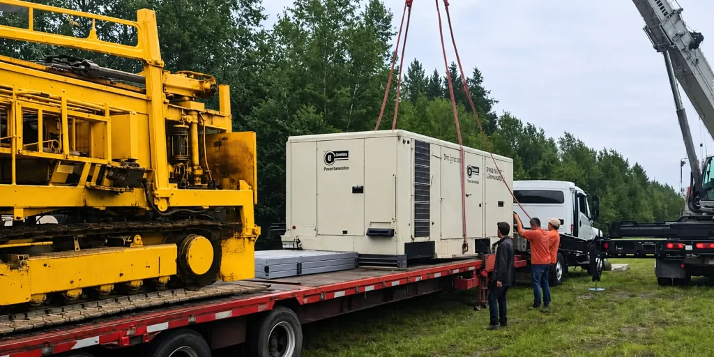
If you would like to use our services, please email us and we will provide a DocuSign agreement along with a customized estimate. Waterfind is based in Rocky Mountain House, Alberta, and we travel almost anywhere in Canada to assist clients with groundwater location services.