How to Find the Water Table Depth Underground
We use advanced seismic technology to detect underground water, estimate water table depth, and improve drilling accuracy before a well is drilled.
Practical Guide to Find Water and Water Table Depth
How to find water on your property?
Finding water on your property starts with understanding the land, nearby well records, and local groundwater conditions. Many property owners search for how deep is groundwater, groundwater survey, or how to survey water underground because they want to avoid drilling in the wrong location. While signs such as low areas, vegetation, and nearby wells may offer clues, they cannot confirm aquifer depth, water yield, or the best drilling location.
A professional groundwater survey gives property owners a more reliable way to find water underground before drilling begins. WaterFind uses advanced seismic technology, geological knowledge, and groundwater analysis to identify promising water-bearing formations. This process can help estimate aquifer depth, locate stronger groundwater zones, and reduce the risk of drilling a dry or low-producing well.
Before investing in water well drilling, it is important to know where the best water source may be located. A WaterFind survey helps homeowners, farmers, ranchers, acreage owners, and commercial property owners make better drilling decisions. As a result, you can plan your water well project with more confidence and avoid costly guesswork.
Understanding Local Groundwater Conditions
Locating groundwater is one of the most important steps in planning a successful water well. Before drilling begins, property owners should understand local groundwater conditions and how water moves beneath the surface. Soil type, rock formations, elevation, seasonal weather, and groundwater recharge rates can all affect well depth, groundwater well yield, and long-term water production.
The water table is the level below the ground where soil and rock become fully saturated with water. However, water table depth can vary from one property to another, even within the same area. Because of this, nearby well records, groundwater wells maps, and local well data can provide useful information about previous drilling depths, static water levels, reported flow rates, and subsurface conditions.
Although well records and groundwater information centers offer helpful background data, they do not guarantee the same results on every property. Each site has unique underground conditions. Therefore, understanding aquifers, water-bearing formations, and local groundwater patterns can help property owners make more informed decisions before investing in water well drilling.
Geological Factors and Groundwater Surveys
Geology plays a major role in groundwater availability and water well success. Sand, gravel, and fractured rock formations often allow groundwater to move more freely underground. As a result, these formations are usually more favorable for well development. In contrast, dense clay layers and impermeable rock formations can limit groundwater movement and reduce potential well yield.
Seasonal conditions can also affect groundwater levels over time. For example, drought, snowmelt, rainfall, and groundwater recharge rates may change the depth of the water table. Because of this, understanding local geology, groundwater level, and subsurface conditions is important before drilling begins. Many property owners also review groundwater wells maps, nearby well records, and groundwater information to better understand local water potential.
Modern groundwater investigations provide additional confidence before drilling. Advanced seismic groundwater surveys, geological mapping, geophysical survey methods, and hydrogeological assessments can help identify possible aquifers and water-bearing zones beneath a property. This data-driven approach improves site selection, reduces unnecessary drilling costs, and increases the chances of finding a reliable groundwater source.
Understanding Groundwater and Aquifers
How Groundwater Forms
Groundwater is water stored beneath the earth’s surface in the pores, fractures, and open spaces found in soil, sand, gravel, and rock formations. Many people search how is groundwater formed because groundwater is not visible like rivers, lakes, or reservoirs. It forms when rainwater, snowmelt, and surface water slowly infiltrate the ground through a natural recharge process. As the water moves downward, it reaches underground water-bearing formations called aquifers. These aquifers supply private water wells, farms, ranches, livestock operations, and rural properties. Understanding how groundwater forms helps property owners make better decisions before planning a water well.
What Is an Aquifer?
As groundwater moves through the subsurface, it collects in underground formations known as aquifers. An aquifer is a geological layer that can store and transmit usable amounts of groundwater through pores, fractures, and open spaces in soil or rock. Aquifers may be made of sand and gravel deposits, porous sandstone, limestone, or fractured bedrock. Because each formation holds and moves water differently, aquifer depth, thickness, and water yield can vary from one property to another. Understanding what groundwater and aquifers are helps property owners make better decisions before planning a residential, agricultural, or commercial water well.
Factors Affecting Groundwater Availability
Groundwater availability depends heavily on local geology and subsurface conditions. Permeable materials such as sand, gravel, porous sandstone, and fractured rock allow groundwater to move more freely through underground water-bearing formations. In contrast, dense clay layers and impermeable rock can restrict groundwater flow, reduce recharge rates, and lower potential well yield. Other factors can also affect groundwater potential. Rock type, fracture density, elevation changes, drainage patterns, seasonal rainfall, snowmelt, drought, and long-term precipitation levels all influence the water table. Because these conditions vary from one property to another, a groundwater survey can help identify stronger aquifers and improve drilling decisions before investing in a water well.
Seasonal Changes and Well Performance
Groundwater is stored in tiny spaces between soil particles, sand, gravel, and rock fractures, not usually in large underground lakes. Because of this, nearby wells can produce very different water yields, even when they are close together. Seasonal rainfall, snowmelt, drought, and groundwater pumping can also affect groundwater levels within an aquifer over time. Therefore, reviewing nearby water well records, monitoring groundwater conditions, and completing a groundwater survey can help property owners understand possible well depth, flow rate, and long-term water supply before drilling begins.
Water Table Depth and Groundwater Yield
The water table is the upper level below the ground where soil and rock become fully saturated with groundwater. Water table depth can vary by climate, terrain, geology, seasonal rainfall, snowmelt, and groundwater recharge rates. However, reaching groundwater does not always mean a well will produce a strong supply. Well flow rate, drilled well flow rate, and groundwater well yield depend on aquifer thickness, permeability, porosity, hydraulic conductivity, and the type of underground formation.
Dense clay, shale, and unfractured granite can restrict groundwater movement and may lead to lower well yields. In contrast, sand, gravel, fractured sandstone, limestone, and basalt formations often support a good water well flow rate. Reviewing water well records, understanding acceptable well water flow rates, and considering water well flow rate testing can help property owners make informed drilling decisions and improve the chances of developing a reliable long-term water supply.
Advanced Technology to Find Water
WaterFind Technology uses advanced seismic imaging and groundwater survey methods to help identify underground water-bearing zones before drilling begins. Unlike traditional water-finding methods, seismic groundwater surveys analyze subsurface conditions, locate potential aquifers, and improve drilling accuracy. This technology helps reduce drilling risks, minimize costly dry wells, and increase the chances of finding a productive groundwater source.
After the survey is completed, a detailed groundwater report can estimate aquifer depth, groundwater thickness, and projected well yield in gallons per minute (GPM). These insights help property owners understand underground formations, choose better well placement, and improve the likelihood of long-term water well success.
What steps can Alberta landowners take to reduce the risk of drilling a dry well?
Alberta landowners concerned about the risk of drilling a dry well can take several informed steps to reduce this risk and protect their interests:
(1) Understand Your Rights and the Development Process
Alberta landowners should understand their rights before any drilling activity begins. It is important to know the difference between surface rights and mineral rights. Companies may have the right to access mineral resources, but they must minimize disruption to the land. They are also required to operate in an environmentally responsible manner. Landowners should expect surveys, notifications, and communication during the early stages of development.
(2) Engage with Energy Companies and Regulatory Bodies
When a company proposes drilling on your property, ask for detailed information. Request an explanation of why the location was selected, how the drilling will be conducted, and what impacts are expected. If concerns arise, landowners can file a Statement of Concern with the Alberta Energy Regulator (AER). Monitoring public notices and updates from the AER can also help landowners stay informed.
(3) Reduce Risk with Groundwater Surveys
One of the most effective ways to reduce the risk of drilling a dry well is to conduct a groundwater survey before drilling begins. WaterFind Canada specializes in helping landowners identify promising groundwater-bearing zones using advanced seismic technology. By locating potential water sources before drilling, property owners can make more informed decisions and reduce unnecessary drilling costs.
(4) Encourage Modern Drilling Techniques
Modern drilling methods can reduce risk and improve efficiency. Directional drilling allows operators to target productive formations more accurately. Reduced spacing units can also improve the chances of success while limiting surface disturbance. Encouraging the use of these technologies may help reduce the likelihood of drilling a dry well.
(5) Review Well Records and Geological Data
Before drilling begins, landowners should review available well records and geological information. Resources such as the Alberta Water Well Information Database can provide valuable insights. Historical drilling reports may reveal groundwater conditions, formation depths, and nearby well performance. WaterFind Canada also recommends reviewing local well records to better understand groundwater availability in the area. This information can support informed discussions with operators and consultants.
(6) Work with Qualified Professionals
Independent experts can provide valuable guidance throughout the process. Experienced consultants understand drilling risks, geological conditions, and regulatory requirements. Their advice can help landowners evaluate proposals and negotiate terms that protect their interests. Working with groundwater specialists such as WaterFind Canada can provide additional confidence when selecting a drilling location.
(7) Monitor Well Abandonment and Site Reclamation
Landowners should ensure that inactive or abandoned wells are properly managed. Operators must follow AER requirements for abandonment and reclamation. Proper site restoration helps prevent environmental issues and protects long-term property value.
(8) Reduce the Risk of Drilling a Dry Well
By understanding their rights, reviewing well data, and supporting modern drilling practices, Alberta landowners can make informed decisions. Combining these steps with a professional groundwater survey from WaterFind Canada can further improve the chances of locating a productive water source. This proactive approach helps reduce the risk of dry wells and promotes responsible resource development.
Water Well Development Resources
Water well development is a critical factor in determining final water well yield and long-term performance. Proper well development helps improve water flow, remove fine sediments, and maximize the productivity of the aquifer. Learn more through the resources below:
- Life Water International – Well Development Guide
http://www.lifewater.ca/drill_manual/Section_10.htm - Well Drilling School – Well Development Manual
http://welldrillingschool.com/courses/pdf/WellDevelopment.pdf - British Columbia Ground Water Association – Well Development Presentation
https://www.bcgwa.org/images/Well%20Development.ppt
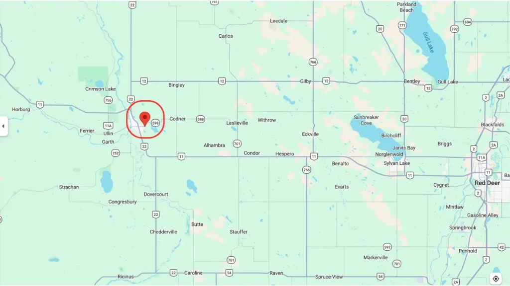
Using Google Earth and Water Well Records
If you are looking to use Google Earth to find underground water maps, first record the latitude and longitude of the property you are researching. Then proceed to our Water Well Records page to review available information for the area. While these records cannot identify the exact drilling location, they can help estimate local water table depth, average well yield, typical drilling depth, and nearby groundwater conditions. This information can help property owners make more informed decisions before drilling a new water well and improve the chances of developing a productive long-term water source.
Frequently Ask Questions
How can I find water on my property before drilling?
Property owners can review nearby well records, analyze local geology, and conduct groundwater surveys. Advanced seismic technology can also help identify promising aquifer zones before drilling begins.
What is the water table?
The water table is the upper level of groundwater saturation beneath the surface. Its depth varies depending on geology, climate, elevation, and seasonal conditions.
How deep is groundwater typically found?
Groundwater depth varies significantly by location. Some wells encounter water within a few feet of the surface, while others require drilling hundreds of feet into bedrock formations.
Can Google Earth show underground water?
Google Earth cannot directly detect groundwater or underground aquifers. However, it can help users identify terrain features, coordinates, and nearby locations that may support groundwater research.
How do well records help locate groundwater?
Well records provide information about drilling depth, water yield, geological formations, and water table conditions in nearby areas. This data helps estimate local groundwater potential before drilling.
What is the best method for finding groundwater?
The most reliable approach combines well records, geological analysis, and modern seismic groundwater detection. Using multiple sources of information helps improve drilling accuracy and reduce the risk of dry wells.
Can seismic technology locate aquifers?
Yes. Seismic groundwater surveys can identify water-bearing formations, estimate aquifer depth, and help determine potential well locations before drilling begins.
Why is groundwater exploration important before drilling?
Groundwater exploration reduces uncertainty, improves well placement, lowers drilling costs, and increases the likelihood of constructing a productive water well.
CONTACT US NOW!
+1 780 876 6676
3811-53 Ave Rocky Mountain House, Alberta T4T 1V4 Canada
If you would like to use our services, please email us and we will provide a DocuSign agreement along with a customized estimate. Waterfind is based in Rocky Mountain House, Alberta, and we travel almost anywhere in Canada to assist clients with groundwater location services.