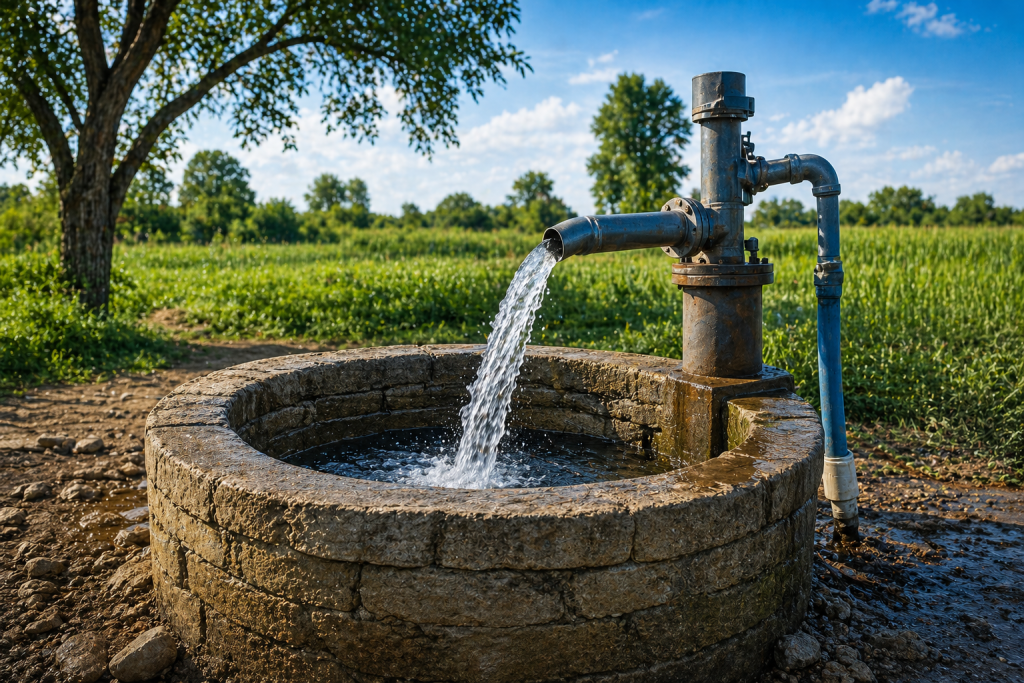
Water Well Groundwater Detection
Advanced Seismic Technology for Water Well Drilling
Water Well Survey Before Drilling
Planning to drill a water well? A professional groundwater survey can help reduce risk, improve drilling accuracy, and save thousands of dollars in unnecessary drilling costs. At Seismic Waterfinder, we use advanced seismic technology to identify productive groundwater zones before drilling begins, helping property owners make informed decisions with greater confidence.
Unlike traditional dowsing methods that rely on willow sticks, copper rods, or pendulums, our scientific approach uses modern groundwater detection and aquifer mapping techniques to evaluate underground conditions. Whether your project involves mud rotary drilling, air rotary drilling, or cable tool drilling, a pre-drilling survey can significantly improve the likelihood of locating a productive water-bearing formation.
Advanced Groundwater Detection Technology
Successful water well drilling begins with understanding what lies beneath the surface. Our groundwater surveys help identify potential aquifers, estimate groundwater depth, locate productive water-bearing formations, and detect areas that may contain saline or poor-quality water.
These detailed assessments support residential, agricultural, commercial, and land development projects by providing valuable information before excavation begins. Proper site selection can help reduce the risk of drilling a dry hole or investing in a low-yield well.
Understanding Water Well Drilling Costs
The cost of water well drilling can vary significantly depending on geological conditions, well depth, casing requirements, and drilling methods. Because drilling represents a substantial investment, many property owners seek ways to reduce uncertainty before committing to a project.
Low-yield wells may require additional infrastructure such as storage tanks or cistern systems, increasing overall costs. Identifying favorable groundwater conditions before drilling can help minimize these risks and improve project outcomes.
Seismic Imaging for Aquifer Mapping
Seismic imaging has long been used in the oil and gas industry to evaluate underground formations before drilling. Today, similar technology can be applied to groundwater exploration and aquifer mapping.
At Seismic Waterfinder, we use advanced seismic methods to estimate groundwater depth, identify potential aquifers, and assess water-bearing formations before drilling begins. This data-driven approach helps property owners, farmers, developers, and contractors make more informed decisions while reducing drilling uncertainty.
Groundwater Depth and Yield Reports
Following each survey, clients receive a detailed report outlining estimated groundwater depth and projected water yield. These reports provide valuable guidance for planning a new water well, helping determine the most promising drilling locations while minimizing unnecessary expenses.
Whether you are developing rural property, expanding agricultural operations, or securing a reliable residential water supply, a professional groundwater survey can provide the information needed to move forward with confidence.
CONTACT US NOW!
+1 780 876 6676
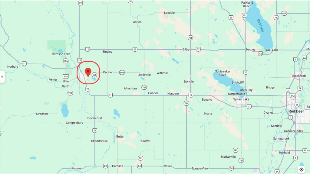
3811-53 Ave Rocky Mountain House, Alberta T4T 1V4 Canada
If you would like to use our services, please email us and we will provide a DocuSign agreement along with a customized estimate. Waterfind is based in Rocky Mountain House, Alberta, and we travel almost anywhere in Canada to assist clients with groundwater location services.